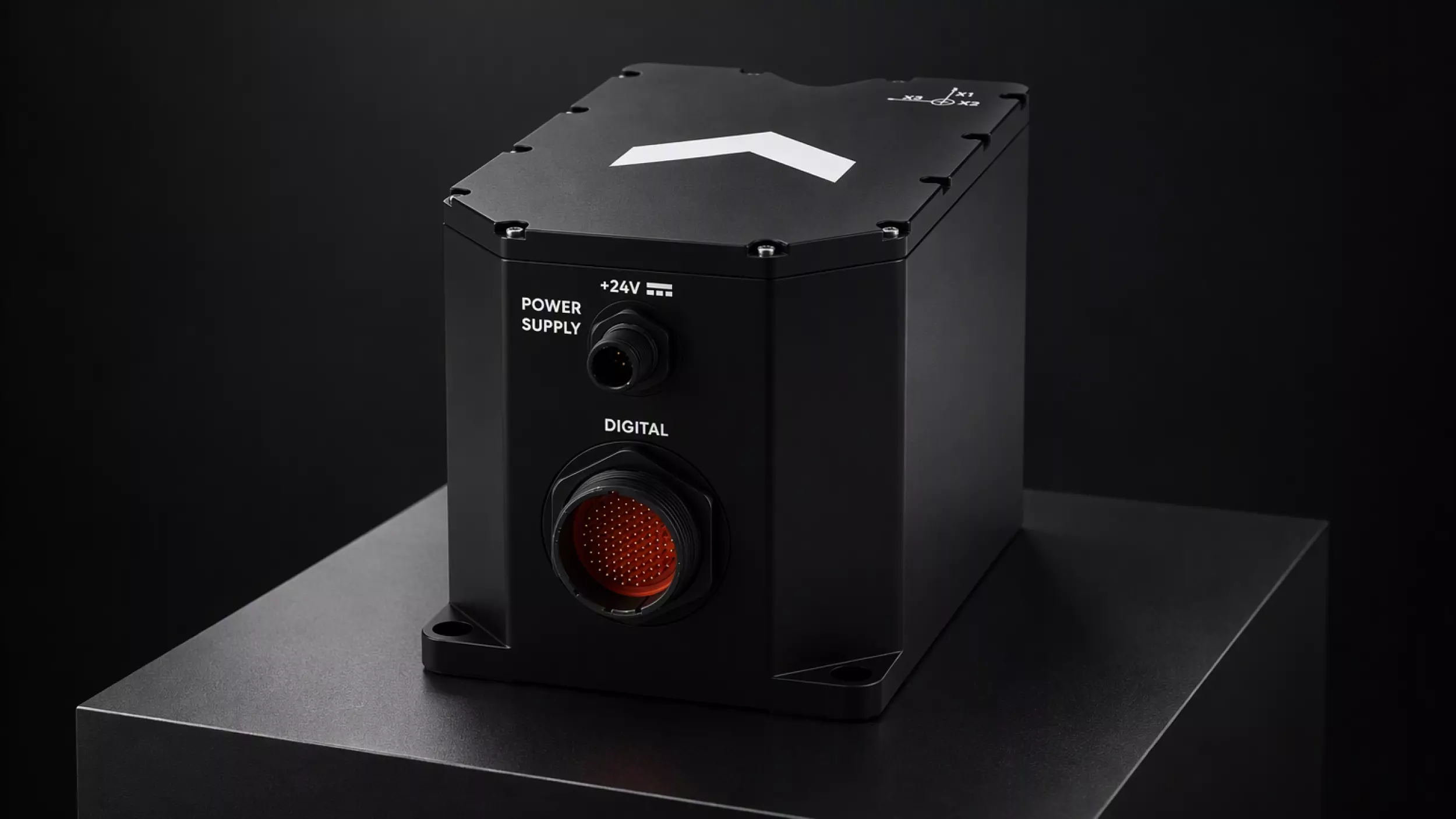
French navigation specialist Exail unveiled the Marins M1 on October 26, 2026, a compact fiber optic gyroscope (FOG) inertial navigation system (INS) built for rigid-hull inflatable boats (RHIBs), fast interception craft, patrol boats, uncrewed surface vessels (USVs) and uncrewed underwater vehicles (UUVs). Exail rates the unit at a maximum position drift of 1 nautical mile after three hours without external aiding, in a 4.5 kg housing that draws 13 W.
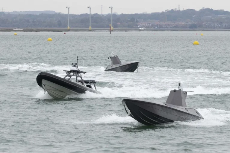
Small crewed and uncrewed craft now carry missions once reserved for larger hulls, from interdiction to mine countermeasures, often where Global Navigation Satellite System (GNSS) signals are jammed or spoofed. The obstacle has been size, weight, power and cost (SWaP-C): military-grade FOG systems were sized and priced for frigates, destroyers and submarines. Exail says its Marins range equips more than 50 navies.
Exail Marins M1 Specifications: 1 NM Drift Over Three Hours
Per Exail’s published data, the Marins M1 measures 222.3 x 136 x 138.5 mm. It outputs position, heading, roll and pitch at 200 Hz, with GNSS-aided heading accuracy of 0.01 degrees (secant latitude) and roll and pitch accuracy of 0.01 degrees. Typical alignment time is five minutes, and the unit handles an acceleration dynamic range of plus or minus 15 g, a figure aimed at the slamming loads high-speed craft absorb in a seaway. Exail lists the system as qualified to MIL-STD-810E and MIL-STD-461G, and certified to International Maritime Organization (IMO) and IMO High-Speed Craft rules. Integration runs over Ethernet, with web-based configuration and Network Time Protocol (NTP) synchronization.
Within the Marins family, the M1 is the entry point. The Marins M3 is rated at 1 NM in 12 hours, the M7 at 1 NM in 72 hours and the M11 at 1 NM in 360 hours.
Exail has not disclosed unit pricing, a launch customer, production volumes or delivery dates, nor Doppler velocity log (DVL)-aided figures for underwater use.
Closing the GNSS-Denied Navigation Gap for USVs and UUVs
For a RHIB or interceptor on a boarding or night insertion, a three-hour, one-mile envelope covers most sorties end to end, so the crew keeps a usable solution through a jamming event without reverting to dead reckoning. For a USV, the INS is also the control reference: station-keeping, waypoint execution and collision avoidance degrade once heading and position drift. For UUVs, which never receive GNSS at depth, inertial drift dictates how often the vehicle must surface or lean on acoustic aiding.
“A RHIB or a USV operating without GNSS faces the same navigation challenge as a larger vessel, with far less room to address it,” said Madeleine Laguarigue de Survilliers, Naval Navigation Product Manager at Exail.
Like the wider Marins line, the M1 is solid-state, with no moving parts and a low acoustic signature. Exail cites a 500,000-hour mean time between failures (MTBF) and states that its naval INS products carry no US International Traffic in Arms Regulations (ITAR) restrictions, a relevant point for shipyards building uncrewed systems for export.
Analysis: The Marins M1 targets a growing segment of naval force structure. As navies spread sensors and effectors across more small crewed and uncrewed hulls, the navigation reference becomes a fleet-wide cost driver rather than a per-ship line item. A 4.5 kg, 13 W FOG unit free of ITAR constraints positions Exail for USV and UUV integration work on both sides of the Atlantic, where price and export flexibility now weigh as heavily as drift performance. Whether the more accessible price point Exail cites suits attritable platforms remains open.
The launch follows Exail’s Neptis distributed maritime surveillance system, unveiled on October 9, 2026, and an INS for amphibious operations introduced in June, extending a product cadence centered on smaller and autonomous platforms. The next indicators are a named launch customer, integration deals with USV and UUV builders, and published DVL-aided performance data.